This article has been reviewed according to Science X's editorial process and policies. Editors have highlighted the following attributes while ensuring the content's credibility:
fact-checked
peer-reviewed publication
trusted source
proofread
New tech to monitor climate change

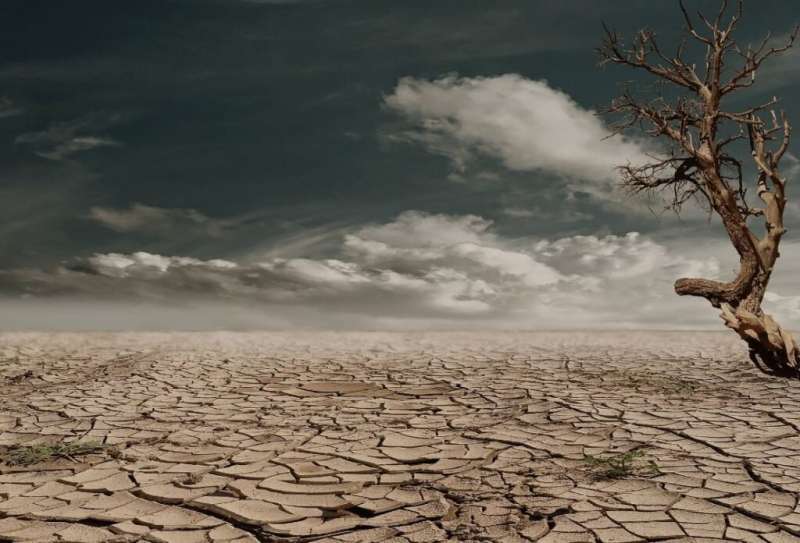
Weather extremes have become more frequent and intensive since the 1950s, and international hydrology experts are using new technology to map land areas subject to hotter, dryer conditions under climate change.
Flinders University experts have worked with Chinese and other Australian researchers on three studies to assess the effects of droughts on heatwaves, vegetation health and soil salinity.
The first study, led by former Flinders University Ph.D. Dr. Ajaio Chen and published in the Journal of Hydrology, used advanced computer modeling to divide a world map into red and blue regions to reflect areas worst hit by global warming compared to drought-induced local soil moisture deficit.
Two other studies, led by China Agriculture University scientists, worked on improving the use of hyperspectral remote sensing technology to monitor salinity of irrigated agricultural soils, and on drought impacts on vegetation health on a large scale.
"These two studies provide methods for assessing the large-scale effects of global warming and increasing rainfall variability on hot extremes, aridification, soil degradation and food security in order to plan for future resilience of our environment and agricultural systems," says Flinders University Associate Professor Huade Guan, a chief investigator from Australia's National Center for Groundwater Research and Training.
The first of these studies, published in Science of The Total Environment, shows that while some regions become more frequently hit by hot extreme occurrences due to global warming, others are more affected by the strong year-on-year variability in root zone soil moisture.
The areas more likely to suffer from global warming induced heat extremes are located in dry regions (such as the Sahara), mountain ranges (e.g., the Andes in South America, the Rockies in North America), and plateaus (e.g., the Brazilian Plateau and the Mongolian Plateau), where interannual variability of root zone moisture is generally smaller due to water deficiency, steep topography, and/or low temperature.
Vegetation clearance and ocean-atmosphere phenomena also influenced the number of hot days.
Meanwhile, targeted use of large-scale soil salinity monitoring could be used for mitigating the worsening effects of hotter drier conditions, says co-author Associate Professor Guan.
The second study, published in Remote Sensing, developed a new "soil spectral reflectance exponential model" to improve the use of soil spectrometry for a quick assessment of soil salinity in large scale.
"It can be useful for monitoring soil salinity on flood plains and on irrigation crop fields," Guan says.
"Soil salinity affects about 23% of cultivated land, especially in arid and semi-arid irrigated agricultural areas and is one of the main factors restricting sustainable development of agriculture."
More information: Ajiao Chen et al, Spatially differentiated effects of local moisture deficit and increased global temperature on hot extreme occurrences, Journal of Hydrology (2022). DOI: 10.1016/j.jhydrol.2022.128720
Zhen Weng et al, Three-dimensional linkage between meteorological drought and vegetation drought across China, Science of The Total Environment (2022). DOI: 10.1016/j.scitotenv.2022.160300
Xi Huang et al, An Improved Exponential Model Considering a Spectrally Effective Moisture Threshold for Proximal Hyperspectral Reflectance Simulation and Soil Salinity Estimation, Remote Sensing (2022). DOI: 10.3390/rs14246396
Journal information: Science of the Total Environment
Provided by Flinders University


